


Update 1/9/2024
If you use a sub-pump, please check that the exit is clear of snow and ice. There will be significant rain and melting snow leading to a high potential for flooding. Do not enter your basement if there is deep water potentially reaching electrical appliance and or plugs. Call for assistance. High winds may cause power outages. Please keep a flashlight handy or other source of light, such as a cell phone, with you as you move about your home after dark. Make sure all devices are charged.
A POWERFUL WINTER STORM PASSING TO OUR WEST TUESDAY NIGHT WILL BRING MODERATE TO HEAVY RAINFALL AND STRONG WINDS TO OUR AREA…HIGH WIND WARNINGS ARE IN EFFECT FOR COASTAL AND SOUTHEASTERN CONNECTICUT…FLOOD WATCHES ARE IN EFFECT FOR THE ENTIRE STATE…
A High Wind Warning will go into effect at 6:00 PM for New London county and coastal areas of Fairfield, New Haven and Middlesex counties. A Wind Advisory will also go into effect for the rest of the state. Flood Watches have been issued for the entire state and a Coastal Flood Warning is in effect for coastal Middlesex and New London counties.
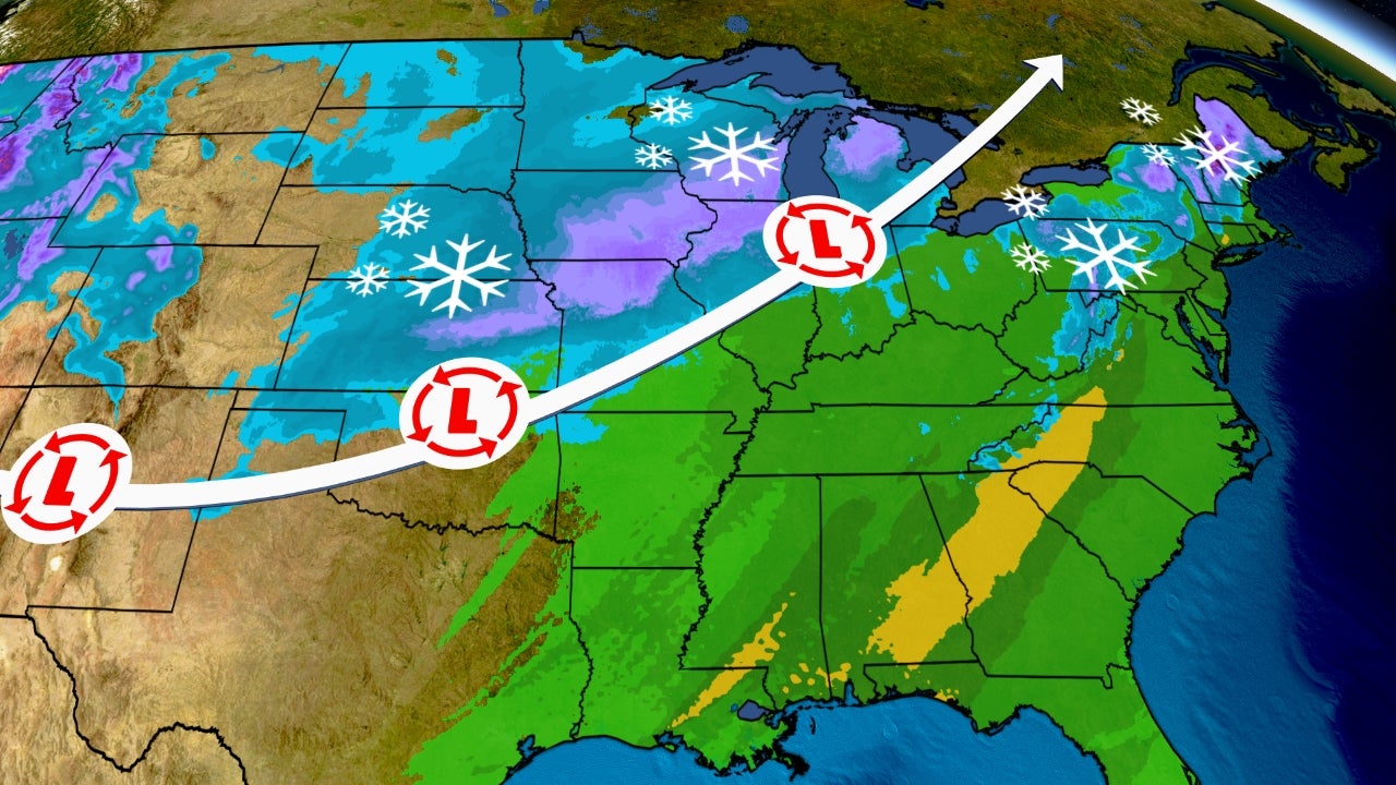
A powerful winter storm will track across the Great Lakes tonight. Our area will be on the eastern side of this storm, and we can expect strong damaging winds and heavy rain to melt much of the snowpack from yesterday’s storm. The melting snow (equal to 1” of water) may add to the 2” – 4” of expected rainfall and could cause moderate urban and small stream flooding later tonight and early Wednesday morning. The following forecast is based on a blend of the GFS, EURO, NAM and HRRR computer models:
This Evening: Rain along with southeast winds are expected to move into the state between 4:00 – 7:00 PM. The winds and rainfall are forecast to quickly pick up with moderate rainfall and winds gusting to 40 – 50 MPH along the coast and 35 – 45 MPH inland by midnight.
Overnight: Strong winds gusting to 50 – 65 MPH at times combined with moderate to heavy rainfall at times are expected to quickly melt the snowpack in southern CT leading to moderate urban (e.g. basement flooding) and small stream flooding. The strong winds may cause a minor to moderate number of power outages.
Wednesday: The rain and wind are expected to taper off around daybreak. However, river flooding is expected to continue thru the day as melting snow in central and northern CT contributes additional water. The level of flooding will depend on how much of the snowpack is melted. If the entire snowpack melts, moderate river flooding may occur. Minor/moderate coastal flooding is also expected during high tide between 9:00 AM and noon in Long Island Sound.
Because this storm is likely to involve both significant rainfall and snow melt, it is recommended that access to drains be cleared of snow in advance in order to maximize water flow. DESPP / DEMHS will continue to closely monitor this approaching storm.
01/08/2024 – Due to heavy rain expected for Winter Storm Finn, a Flood Watch has been issued From Tue 6 pm until Wed 1 pm.